The 1,000-Mile Great Lakes Adventures

Wednesday, July 28, 2010

Oil Spill in West Michigan Heading Toward Lake Michigan


The overpowering smell of oil on the river is a much stronger warning than the signs which are posted for miles along the Kalamazoo River. I stopped at three points along the river for maybe 15 minutes total, and came away with a fierce headache.


This river flows through the center of Battle Creek (where I live), then through the towns of Galesburg, Kalamazoo, Plainwell, and Allegan. Then, finally, between the cities of Douglas and Saugatuck before joining LAKE MICHIGAN. There are many wetlands along the way and the river harbors much wildlife. I've kayaked stretches of this river and have seen deer, turtles, blue heron, trout, and muskrat.

Estimates of the amount of oil have been raised to one million gallons. Why was the oil allowed to gush for hours before the flow in the pipeline was shut off? We're still waiting for an answer from Enbridge Energy.

The last photo here is of the Ceresco Dam in Marshall. The EPA is using a Coast Guard helicopter to survey the extent of the spill. This is just a mile or two from origin of the spill. The second photo shows how the crude oil is gathering in the vegetation.

Watch the video below for a closer look at the spill.


Tuesday, July 20, 2010

Ellsworth Shale

During my visit to Torch Lake, I met up with Gerry Sell (and her dogs Miss Sadie and the Cowboy). They walked with me during my lake trek along the shoreline just north of Elk Rapids.


This time, they walked with me along their 'home stretch' of the lake just south of Barnes Park near Eastport.


Gerry pointed out the Ellsworth Shale deposit in the area. This shale is greenish and is found south of the Antrim (grey) shale outcropping.

In the photos above, you can see the shale deposits extending out into the lake.


Check out the link to Gerry's blog in the sidebar: Torch Lake Views.

Saturday, July 17, 2010

The Treacherous Manitou Passage

In Benjamin J. Shelak's Shipwrecks of Lake Michigan, he says that "...treacherous weather, numerous islands,and reefs waiting to smash unwary vessels, and frequent boat traffic, the northern region of Lake Michigan was the scene of some very early wrecks."

On my way home from my time at Torch Lake, I wound my way down the shoreline and stopped to do some hiking in Sleeping Bear Dunes National Lakeshore. This is one of my favorite stretches of the lake; the Manitou Islands sit just offshore here.

I hiked several miles south from the Maritime Museum at Glen Haven.

I walked for miles without seeing any other people or even footprints on the shore. There are large dunes here and there are few access points to the lakeshore.

Here's what I came across on this little traveled stretch:

It was rather camouflaged under the sand and pulsing waves, but as I investigated, this was revealed:


This 25 foot section of wooden boat was held together by metal rods and braces. I hiked back to the Maritime Museum and spoke to the rangers. They didn't know about this find, so when I got home I e-mailed my photos to them.


Here's a photo with my (size 11) foot in the shot to add some scale to the size of these boards:


I've asked the rangers to let me know if they find out more about this piece of ship, so I'll post more when I hear from them.

YES, I discovered a SHIPWRECK!
(Well, at least a piece of it...)

Friday, July 16, 2010

Torch Lake & Lake Michigan


I just returned home from a few days up north on the shores of Torch Lake. My friend Ann (relaxing in photo above with her dog, Rocky) graciously shared her special spot on the lake.

Torch Lake is the second largest inland lake (Houghton Lake is the largest) in Michigan. Torch is actually deeper at over 300 feet deep. At the northern end of Torch, it almost touches Lake Michigan, and was surely once connected to the Great Lake like many other 'orphan' inland lakes.


This little getaway allowed me the opportunity to revisit some of the most unusual geology I saw while on my Lake Trek, where the Antrim Shale deposit is exposed on the shoreline of Lake Michigan. In the photo below, I am kneeling near and touching a concretion, a geode that formed within the shale. These formations pop out of the shale as it flakes off over multiple freeze/thaw cycles.

In my hand is a collection of the shale fragments. The Antrim Shale is dark grey or black. The Ellsworth Shale found just south of here is a greenish grey (I'll show photos of that deposit in another post).


To the right, Ann sits on a concretion most recently liberated from within the shale wall.

The photo below shows the shoreline dotted with these concretions (please don't disturb or damage these formations if you do visit them).

Monday, July 5, 2010

Summertime at the Lake


My friend, Joan Donaldson, had a reading at the Douglas Library last week. I drove out to the lakeshore in time to visit the lake for a few moments at Pier Cove.


I have a difficult time just sitting on the beach, as you might imagine. I look up that shoreline and feel it pull on me.


I enjoyed a short walk, then caught Joan's reading from On Viney's Mountain, her award-winning middle reader novel (10-years old and up). The story is set in Tennessee, and the state recently chose her book to represent the state at the National Book Festival in Washington D.C.!

Wednesday, June 30, 2010

Asian Carp within 6 Miles of Lake Michigan

A 20 pound, 34 inch Asian carp has been found PAST the electric barriers, just 6 miles from Lake Michigan.

The Honorable Senator Stabenow's call for action is below. In a letter she sent, she says:

"The Permanent Prevention of Asian Carp Act requires the Army Corps of Engineers to follow the recommendations of top experts in the field and expedite their study detailing the engineering options to permanently separate the Mississippi River from the Great Lakes."


Friday, June 25, 2010

Wildflowers I met on my Lake Trek

I took thousands of photos on my 1,000 Mile Walk on the Beach. Sure, most of them were of Lake Michigan, but I often took shots of people, animals, insects and plants along the way.

Since I began my Lake Trek in the last days of winter -- there were still chunks of ice in the lake -- hiked through spring and summer and into the early days of fall, I saw the lakeshore come alive. As I hiked, the trees leafed out, plants poked out of the ground turning the shoreline from grey to green, and flowers budded and bloomed.

I was delighted to see the endangered Pitcher's Thistle in the dunes of the Upper Peninsula.


And the Lady's Slipper, a temperate orchid, growing on the side of a dirt road near the lake.


And I saw this unusual yellow flower in the Upper Peninsula. Does anyone know what it is?


Here's a video of all the wildflowers I met while on my Lake Trek.

Walk with me...


Sunday, June 13, 2010

Silver Beach Reborn

When I was last out to the lakeshore, I stopped at St. Joseph's Silver Beach. This is the beach that is closest to my home, and I have watched the sun extinguish in Lake Michigan from this stretch of white sand many times.

When I was on the Lake Trek, I stopped in at Forever Books in St. Joseph and picked up Daryl T. Schiender's Silver Sands and Golden Memories. This book traces the history of Silver Beach from the early 1900s to the late 1970s. In it, Schiender explores Silver Beach's amusement park that drew crowds from hundreds of miles away. Silver Beach was a destination for many years, the Cedar Point of the early 19th century.

The amusement park and bandstand were all scrapped in the late 1900s, but the beach has been preserved. Recently, a pavilion was added near the river, along with a sculpture.

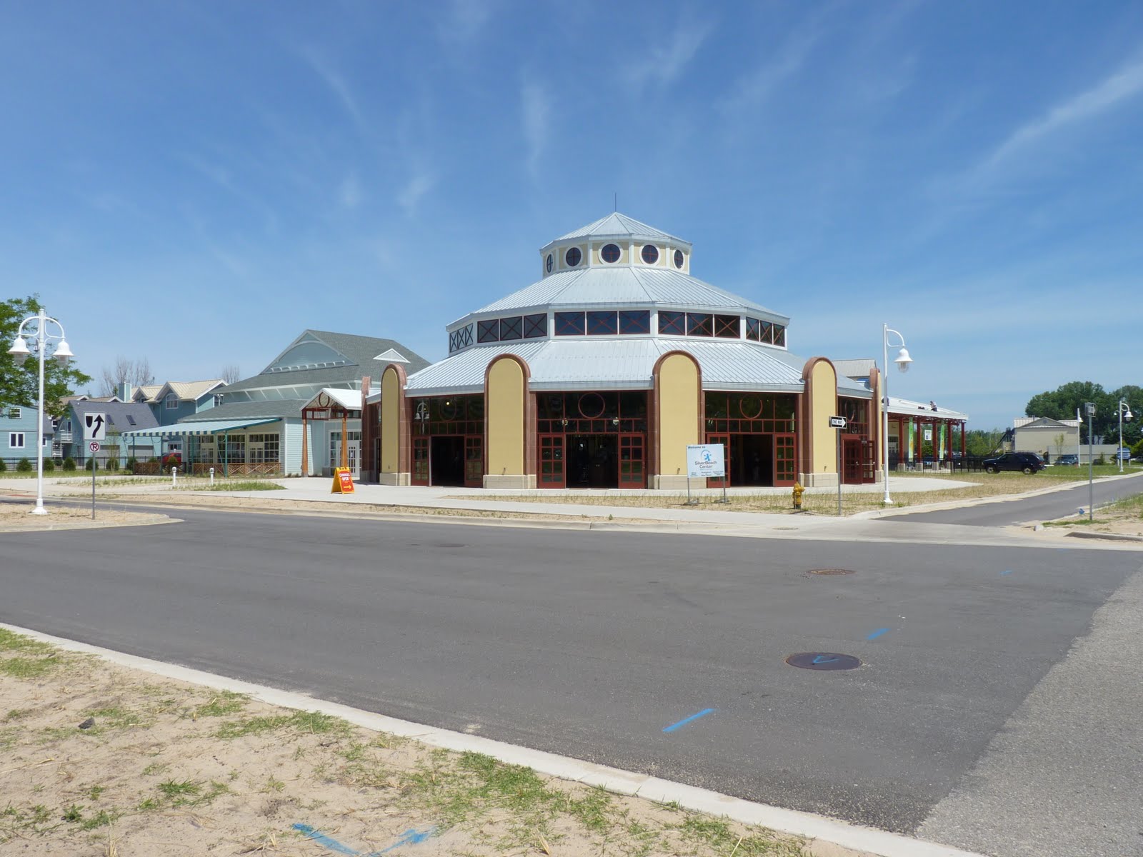
When I visited this month, I was delighted to find the new carousel was open, and a fountain had been installed by the Whirlpool corporation.

When I drove through St. Joe's sister city on the other side of the St. Joe river -- Benton Harbor -- there were signs of life returning to that downtown. There was a working artists' center and a new coffee shop. Benton Harbor is also spiffing up their beaches with more parking and picnic shelters.


Friday, June 11, 2010

Photo shoot for Grand Rapids Magazine

I got out to the lake yesterday to meet up with
Johnny Quirin, photographer for Grand Rapids Magazine. We met at Kirk Park just north of Holland, and the weather cooperated to allow the photo shoot.

Mr. Quirin favored the backdrop of these ancient dock supports, now transformed to weathered, wooden sculptures reaching out into the waves.


The article about my Lake Trek will appear in the August issue of the magazine, so look for it then. It is sold in the greater Grand Rapids metro area.